Software
These are the software tools I developed, alone or with co-developers.
-
2026
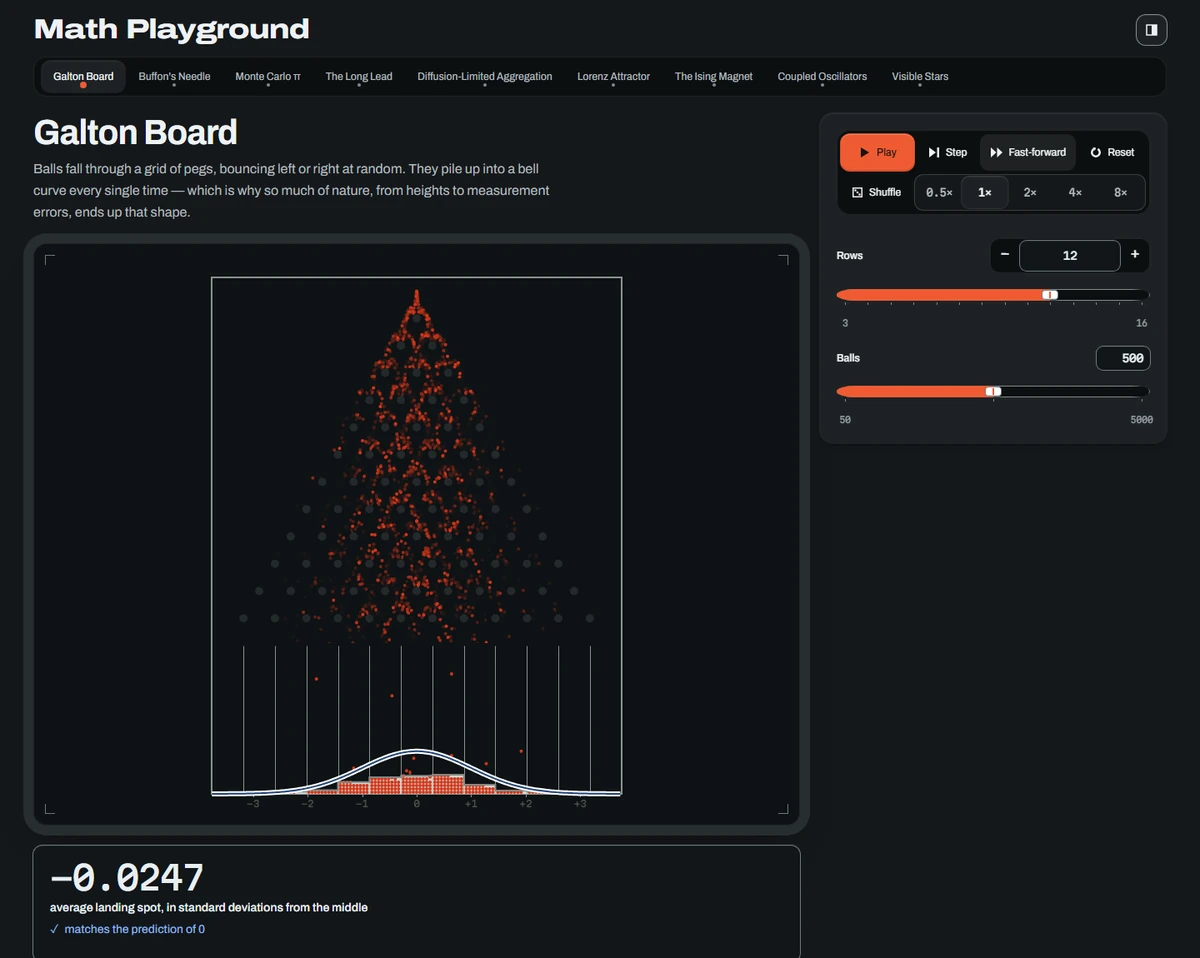
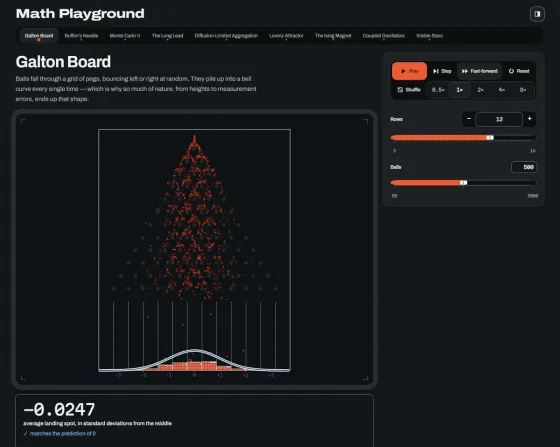
Interactive, parameter-driven visualizations of classic results in probability, from a Galton board and Buffon's needle to Monte Carlo π, the arcsine law, and diffusion-limited aggregation, each converging to a verifiable value.
-
2026
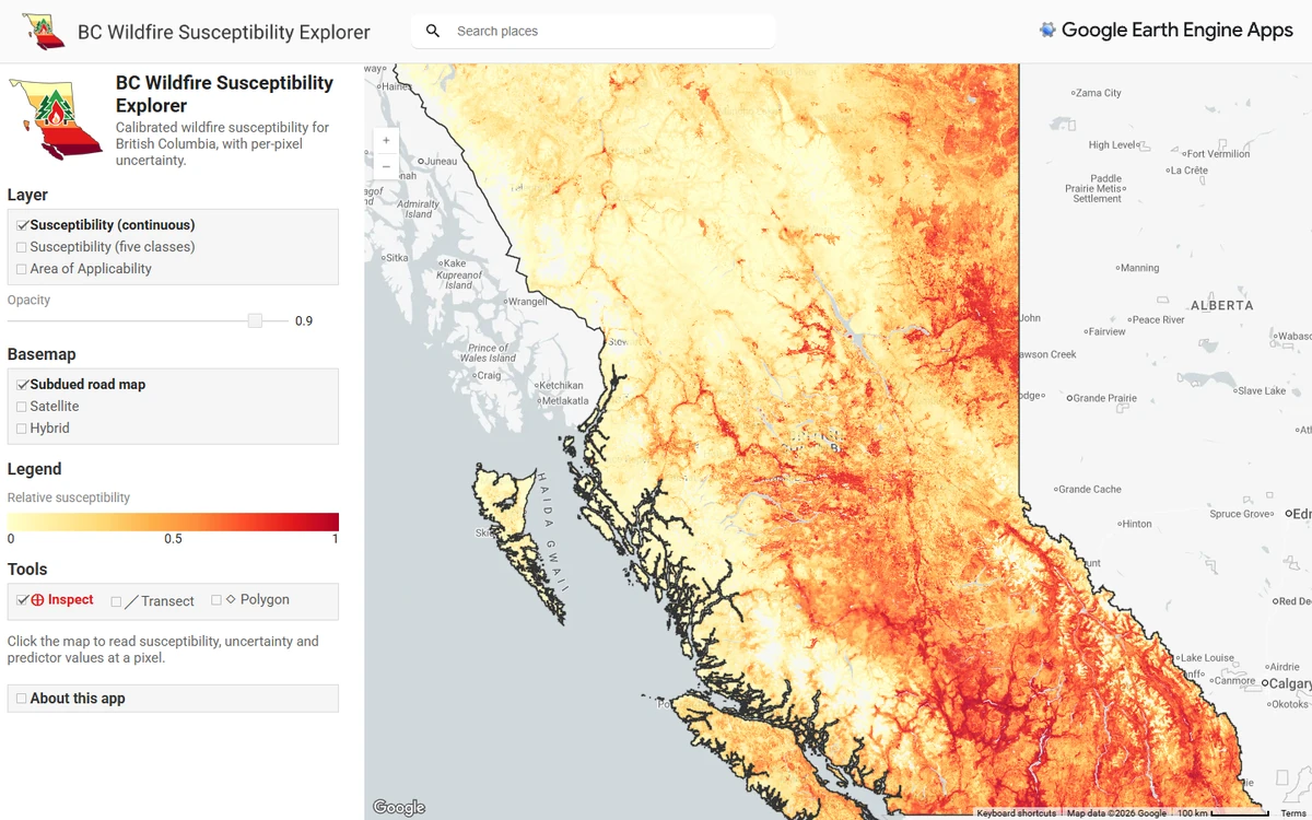
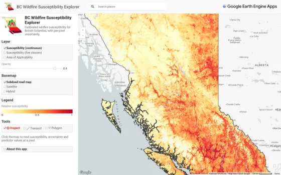
BC Wildfire Susceptibility Explorer
An Earth Engine app for reading calibrated, uncertainty-aware wildfire ignition susceptibility maps of British Columbia.
-
2026
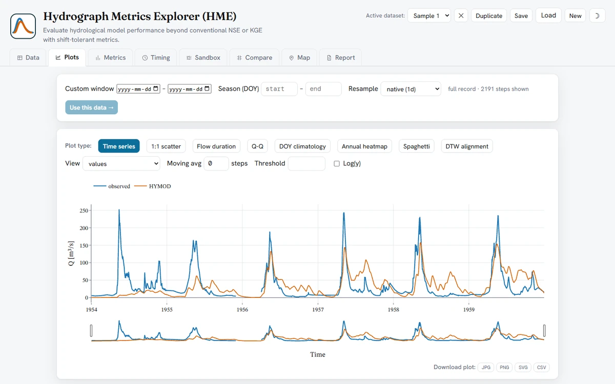
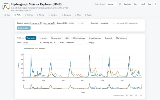
Hydrograph Metrics Explorer (HME)
A browser-based evaluation tool that computes timing- and shape-aware hydrograph metrics alongside conventional ones such as NSE and KGE, updating every metric live as users shift, scale, or offset their flow series.
-
2026
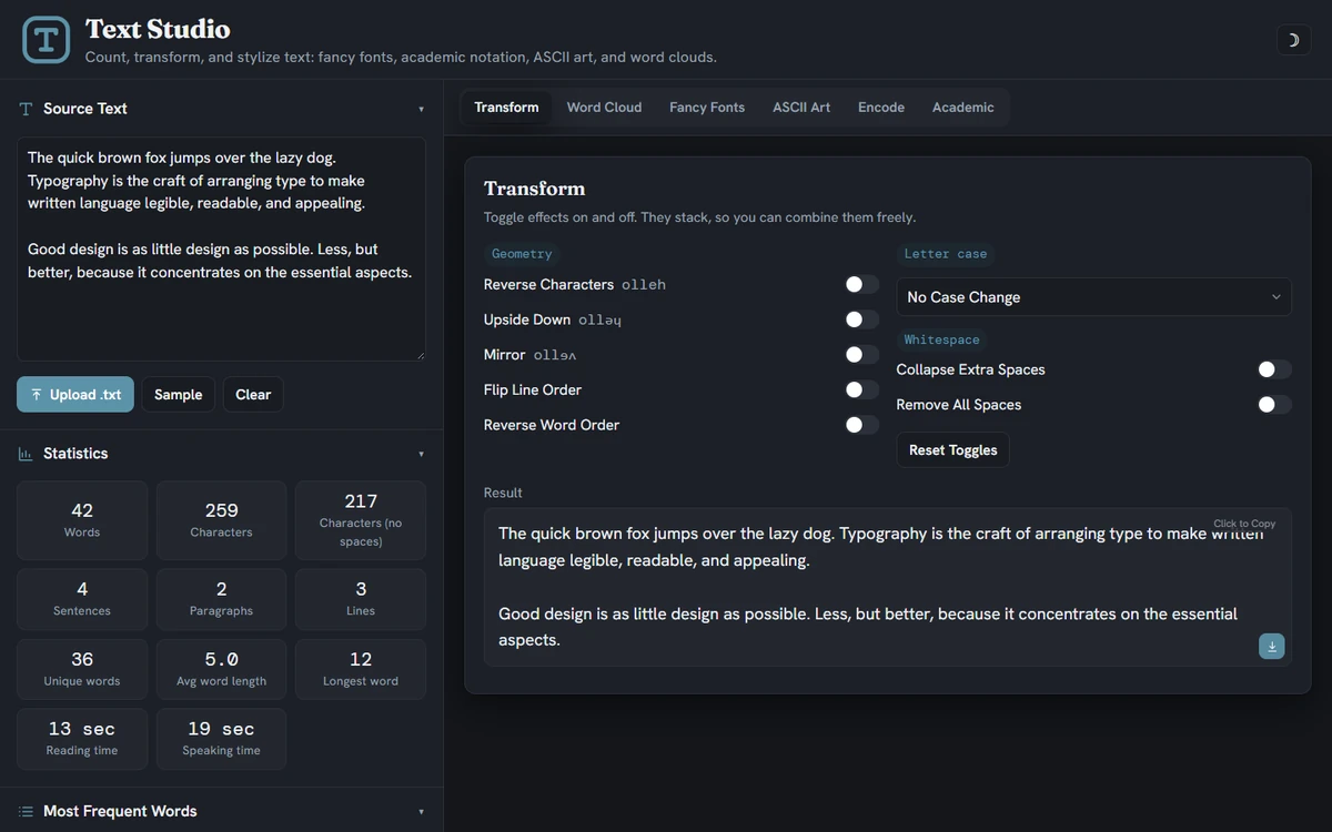
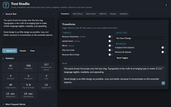
A single-page text workbench that analyzes, transforms, and stylizes text, generating fancy Unicode fonts, academic notation, ASCII art, encodings, and exportable word clouds.
-
2026
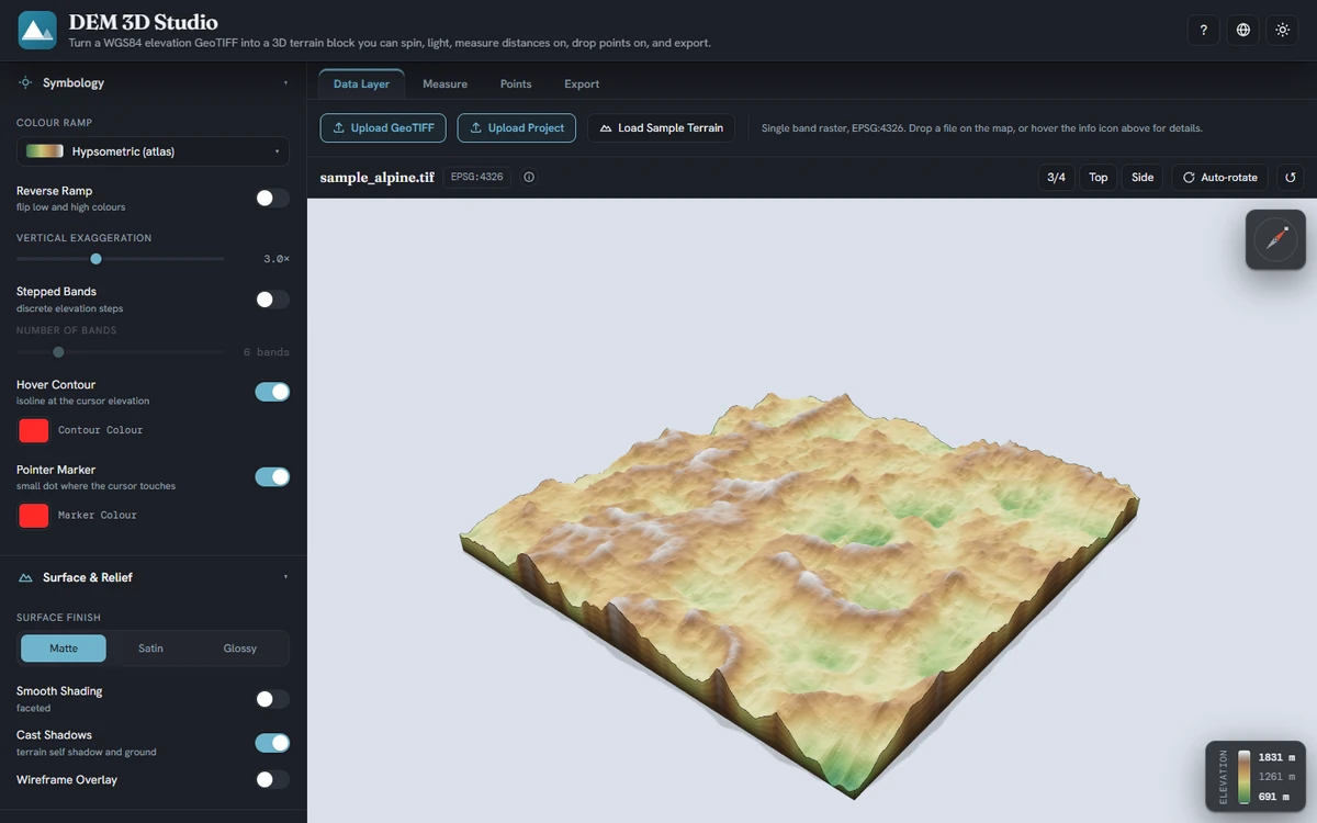
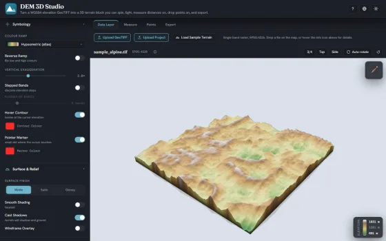
An interactive studio for rendering a WGS84 elevation GeoTIFF as a true-scale 3D terrain block, with hypsometric color ramps, sun lighting and hillshade, distance and point measurement, and export to PNG, JPG, SVG, PDF, and OBJ.
-
2026
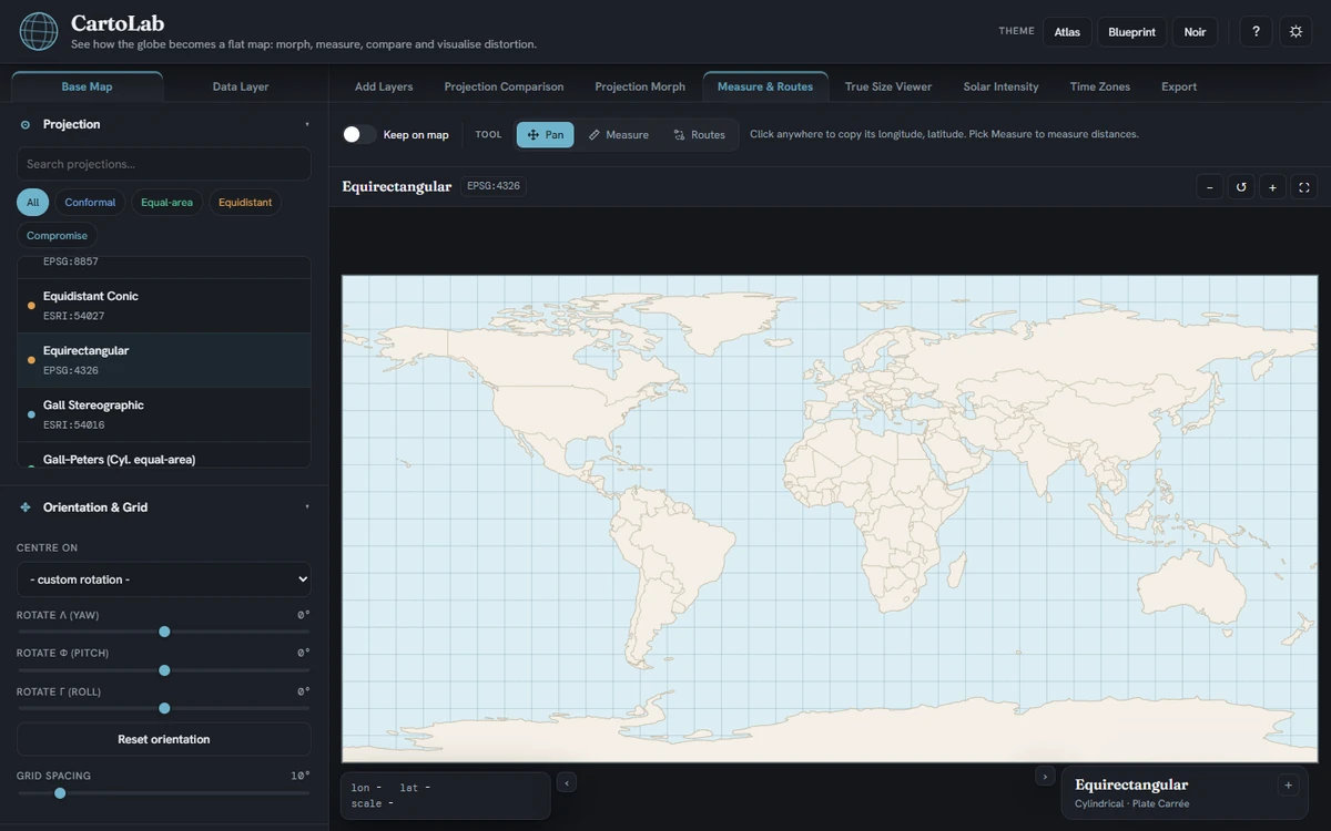
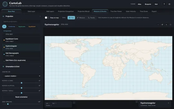
An interactive studio for exploring how the spherical Earth is projected onto a flat map, supporting projection morphing, distortion visualization through Tissot indicatrices, and great-circle distance measurement.
-
2026
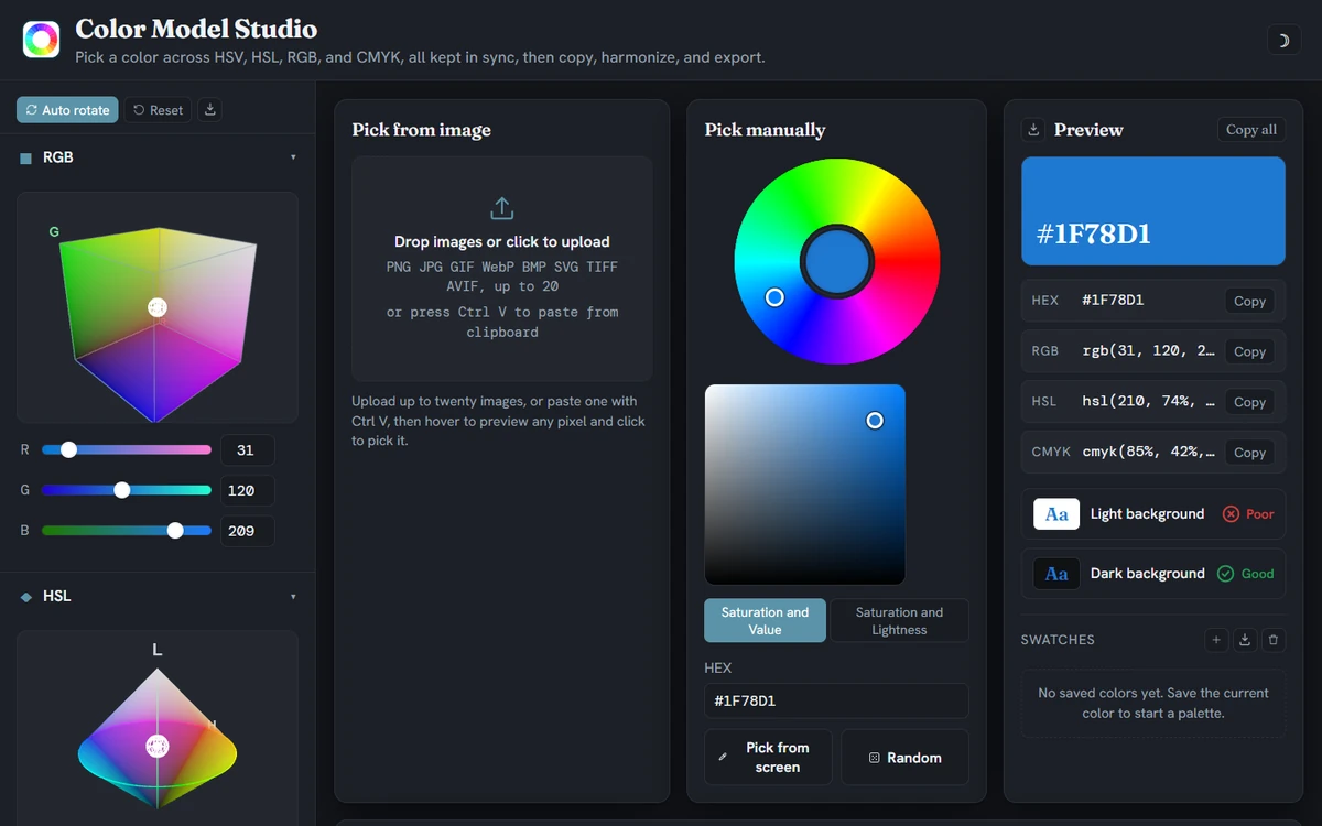
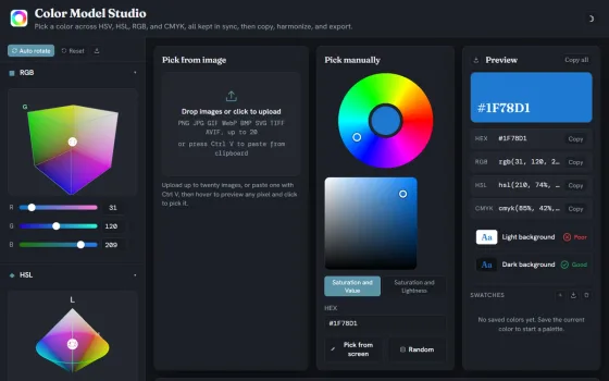
A color management workbench for defining and converting colors across the HSV, HSL, RGB, and CMYK models, with palette generation and exportable code in Python, MATLAB, and R.
-
2026
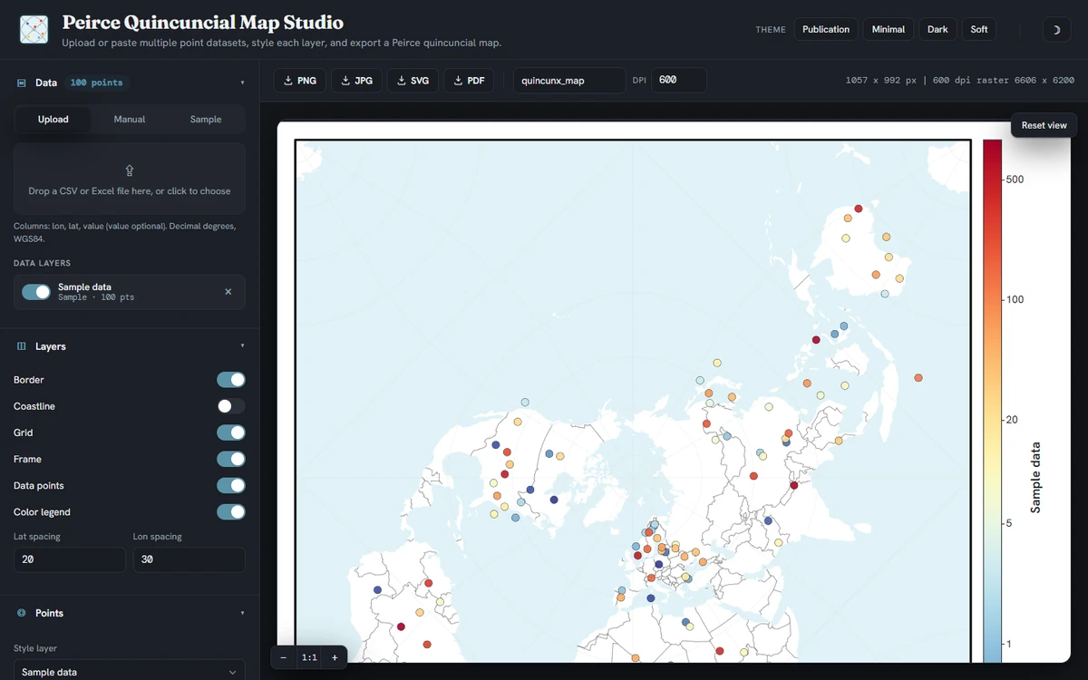
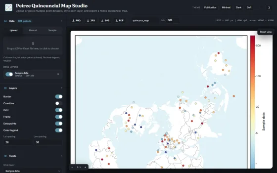
A cartographic tool that renders longitude and latitude inputs as a styled square Peirce quincuncial world map, exportable in PNG, JPG, SVG, and PDF formats.
-
2026
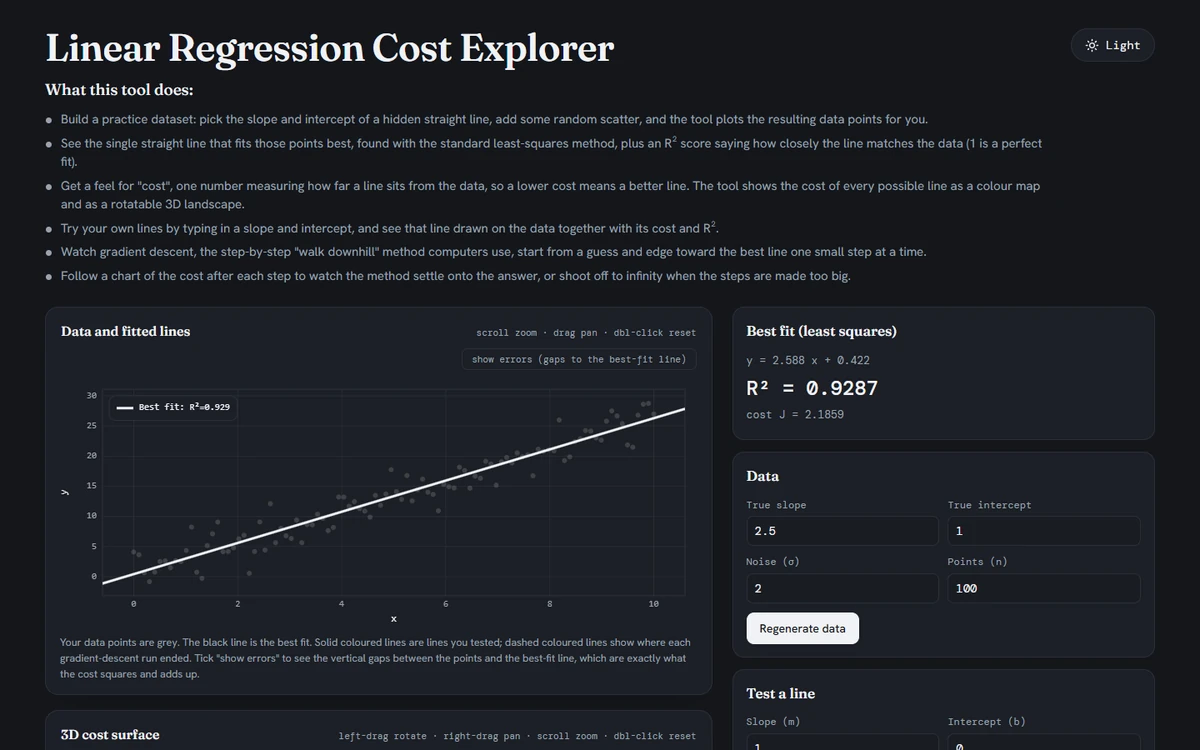
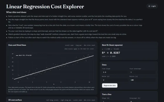
Linear Regression Cost Explorer
An educational tool that illustrates least-squares fitting of a regression line and the iterative search performed by gradient descent toward the minimum-error solution.
-
2026
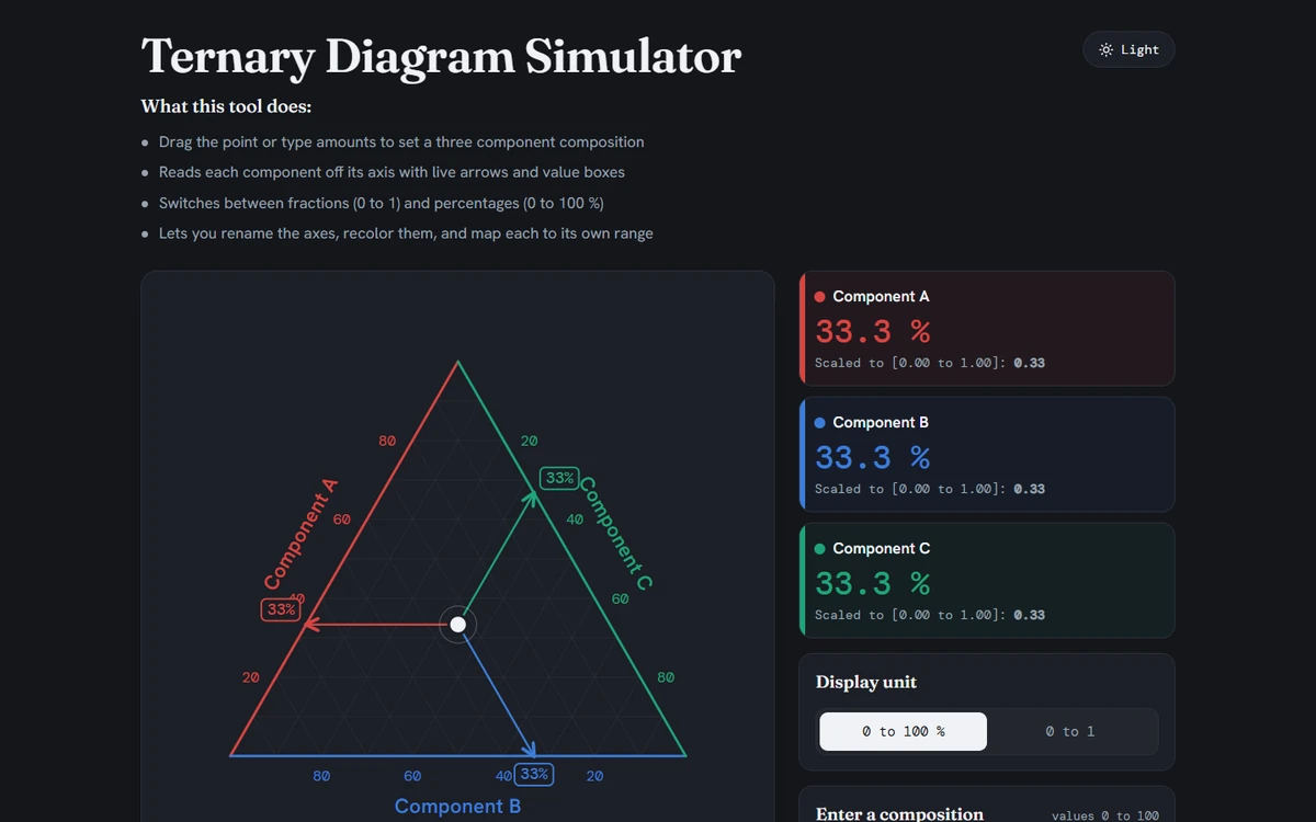
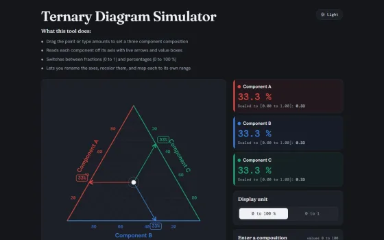
A plotting utility that maps three-component compositions onto a triangular ternary diagram, with display in either percentages or fractions.
-
2024
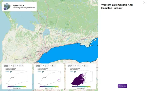
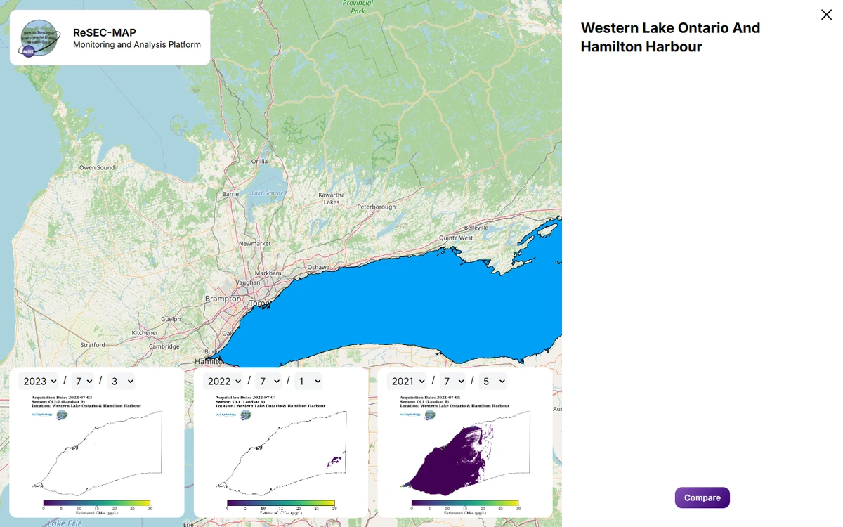
Western Lake Ontario Chlorophyll-a Concentration Online Visualizer
An interactive web map presenting satellite-derived chlorophyll-a concentrations across western Lake Ontario, hosting the 2013 to 2023 Landsat dataset from the published study at https://doi.org/10.1016/j.scitotenv.2025.178881.